Regional Map and Vegetation Profiles
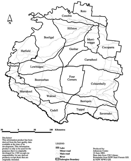
The following map shows the region covered by the guide. The region has been further broken into geographic areas. By selecting one geographic area (eg Roto) you will be taken to a detailed map of that geographic area and given a choice to select the vegetation profile that is most relevant to your site.
Click on the geographic area that you want to view information on below.


