Access specialised, multidisciplinary services, resources and training for the analysis and visualisation of spatial data.
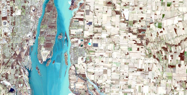
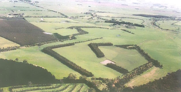
Spatial data is used in research to understand complex patterns, features and boundaries across landscapes, cities and regions
Spatial Data Analysis Network (SPAN) delivers spatial and geospatial data science services to help researchers develop solutions for real-world challenges. By integrating and analysing large, complex and diverse datasets, SPAN applies advanced GIS, remote sensing, and customised analytical methods to transform data visually and reveal insights beyond traditional analysis.
For courses in geospatial science at Charles Sturt visit the School of Agricultural, Environmental and Veterinary Sciences.