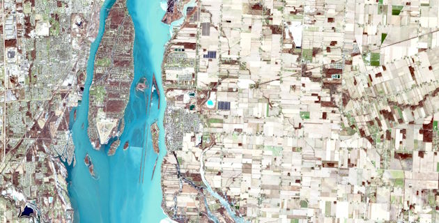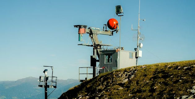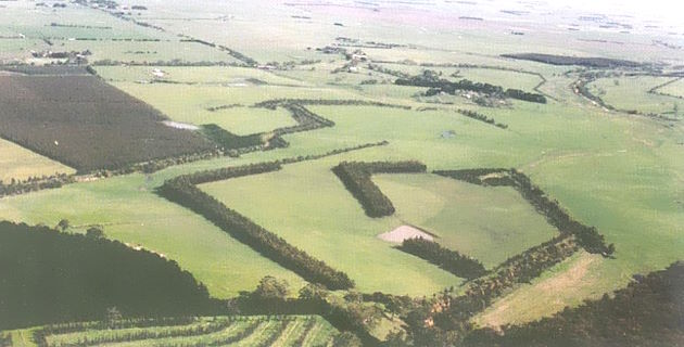
Spatial analysis helps researchers understand patterns, relationships and trends based on location and geographic data
Whether you are planning a project, collecting spatial data, analysing geographic patterns or visualising results, the Spatial Data Analysis Network (SPAN) provides expert advice, training and support using a range of spatial analysis methods and technologies to help researchers develop solutions for real-world challenges.
For courses in geospatial science at Charles Sturt visit the School of Agricultural, Environmental and Veterinary Sciences.